Commercial Roofing Services
Drone Roof Inspections in New Bedford, MA
Drone imaging for large, tall or hard-to-reach commercial roofs in New Bedford, MA, followed by targeted hands-on checks of every flagged area.
Request a Roof Assessment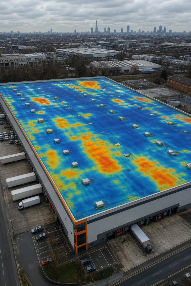
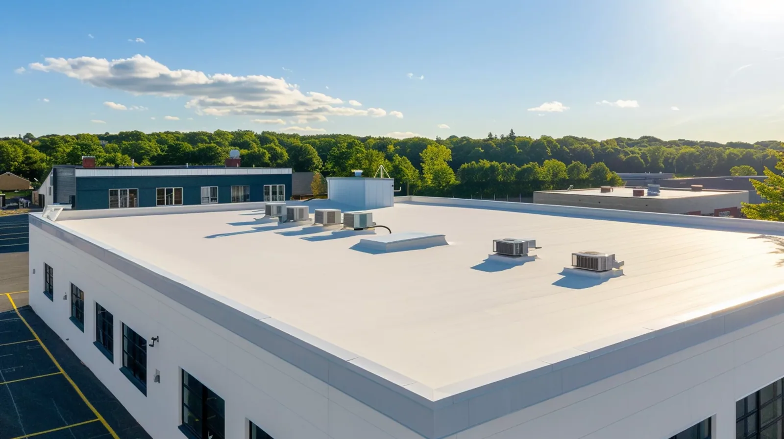
Where should an inspector step first on a roof the size of a parking lot? A drone answers that question from above in a fraction of the time it takes to walk the field, and it shows ponding, patches, debris and discolored membrane in a single pass. In New Bedford, MA we use aerial imaging as the opening move of an inspection, not as a replacement for the walk, because a camera in the air sees the pattern and a probe on the roof confirms the cause.
The combination is faster and safer than either alone. The drone narrows the search and keeps people off fragile or steep surfaces, and the crew goes straight to the spots that need hands-on work.
What can a drone see that a person cannot?
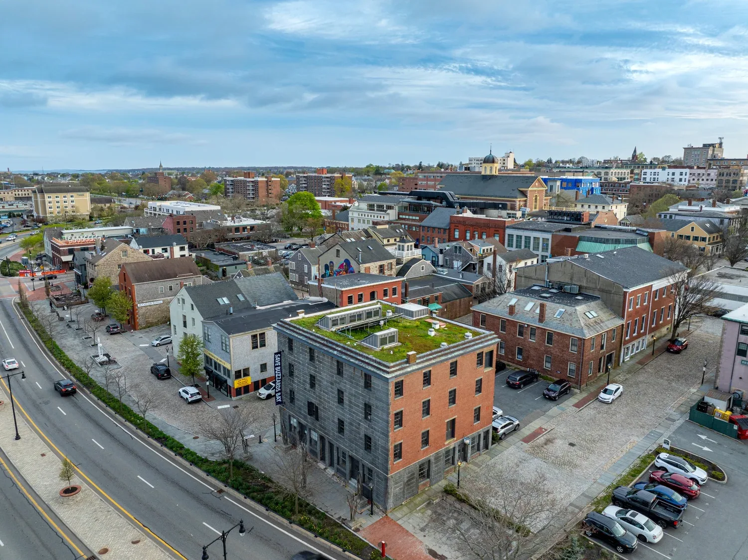
From above, the whole roof reads like a map. Ponding shows as dark or stained patches that follow the low spots, old repairs show as different textures, and failed sealant lines, displaced ballast and missing fasteners stand out. Edge metal that has lifted or shifted is easy to spot along a long parapet, and so is debris that blocks a drain.
The drone also reaches places that are dangerous to walk: fragile skylights, steep standing seam panels, high mansard sections and roofs with weak decks. For those areas, aerial images may be the only safe way to document condition, and we mark them on the roof plan for any needed close-up follow-up.
What does a drone not tell us?
A camera sees the surface. It cannot probe a seam, feel a soft deck underfoot or read the moisture in the insulation below. That is why we follow aerial imagery with a hands-on roof inspection of flagged areas and, where wet insulation is suspected, an infrared moisture survey. We record in the report which findings come from the images and which come from direct contact, so you know the evidence behind each line.
Naming the method matters when the findings drive a capital decision. A roof that looks clean from above can still hold wet board, and a roof that looks stained may be sound beneath.
Which South Coast buildings suit aerial inspection?
Large industrial and distribution sites, such as those in the New Bedford Business Park, are the obvious candidates. Taunton's Myles Standish Industrial Park spreads over 800-plus acres of manufacturing, office, high-tech and distribution space, and the Fall River Industrial Park lies between Route 24 and Riggenbach Road. In Freetown, a Stop & Shop distribution center is a named employer, and the town is served by exits on both Route 24 and Route 140. Buildings in places like these are worth imaging first because an aerial pass covers the whole roof quickly.
Each building is inspected on its own findings, and the drone gives the first screen. For distribution center roofing, the images also help plan rooftop access and equipment routes.
Can a drone help after a storm?
It is one of the best uses. After a wind event, a quick aerial pass shows displaced edge metal, torn membrane and scattered debris without anyone climbing onto a wet or damaged roof. Hurricane Bob's gusts reached 89 mph over Buzzards Bay in 1991, and any major wind event along the coast warrants the same look at perimeter details. We can image a building before and after a storm so the difference is documented.
Those images also support insurance conversations, since dated photographs of the roof's surface condition before and after an event show what changed.
How does winter change what we can capture?
Snow hides the surface, so aerial inspections are scheduled after it has cleared. Winter in New Bedford brings roughly 32.5 inches of snow between December and March, and Fall River took 24.1 inches in one storm in January 2015, so a spring flight is the natural time to document winter damage. We look at drainage patterns, ice damage near drains and any new ponding, and we compare images from year to year so you can see the roof's condition change.
What do you receive?
You receive an annotated set of images tied to a roof plan, a list of flagged areas with recommended follow-up, and notes on any area that could not be safely imaged or walked. The images are dated and stored so that future flights can be compared with them. If you manage several buildings, we use a consistent format so that roofs can be compared side by side.
Where the aerial pass suggests wet insulation or failed seams, the next step is a targeted visit, and the report says exactly where to send the crew. We list the access each location needs, such as a lift, a ladder, a harness tie-off point or a roof hatch, so the second visit is efficient and nobody improvises a way onto the roof.
If the images show nothing worth chasing, we say that as well. A clean aerial record is useful evidence of a roof in good shape, and it gives you a baseline for next year's flight.
Does membrane type change the flight?
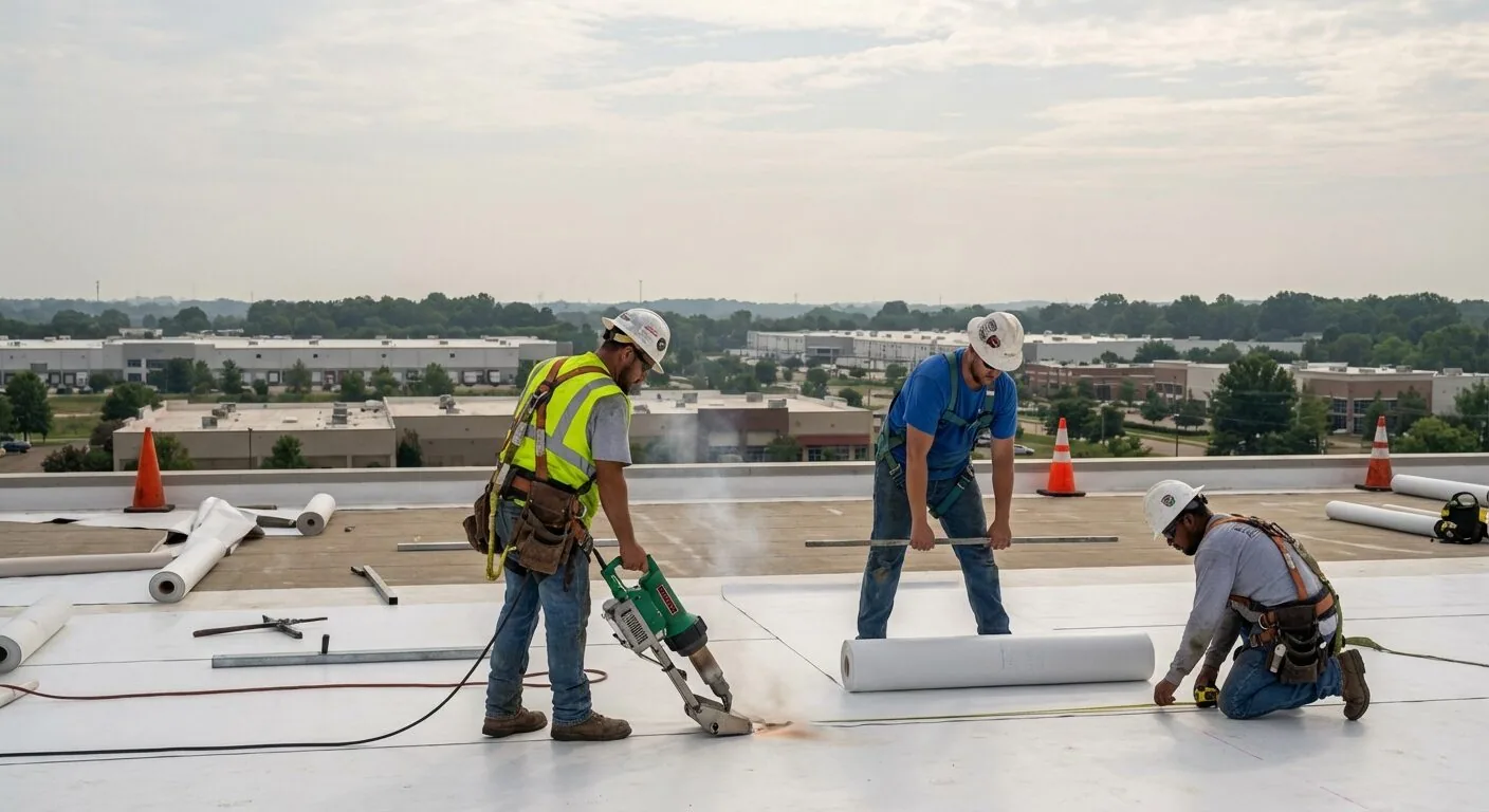
Light-colored membranes such as PVC show dirt, ponding and patches clearly, while dark or gravel-surfaced roofs hide some defects and need more attention to texture and shadow. We adjust the time of day and the camera angle to suit the surface, since low sun brings out relief that midday light flattens. Reflective roofs may need early or late flights to avoid glare.
Flight planning also covers the obstacles on the roof itself. Tall stacks, antennas, wires and rooftop units create turbulence and blind spots, so we fly the perimeter first, then the field in overlapping lines, and finish with close passes at flagged details. Overlap matters because a single frame can miss a seam line that the next frame catches at a better angle.
After the flight, we review every frame, tag the findings and match them to the roof plan before anything reaches you. Images without that review are only pictures, and the value is in the judgment applied to them.
For a property in Freetown or the surrounding area, we choose the flight window around wind and light so the images are usable.
Commercial Roofing Questions
Is a drone inspection enough to plan a replacement?
Not by itself. The images show where to look, but moisture testing and core cuts show what lies beneath. We use the aerial pass to focus the testing and to build the plan, then confirm the scope on the roof.
Can you fly near the harbor and over busy sites?
Flights depend on weather, airspace rules and site conditions, and we plan each one around them. Near the harbor or over busy parking lots we choose times when activity is low and winds are manageable.
How do you handle privacy and neighbors?
We tell the property manager before a flight, keep the images to the subject roof and store them with the report. Nothing is shared beyond the client and the people the client names.
What if the roof is too steep or fragile to walk?
That is where the drone earns its place. We image the surface from several angles, mark suspect areas and decide whether a lift, a harness or interior access can reach them. Some findings stay image-only, and we label them that way.
How often should aerial images be repeated?
Once a year after winter works for most roofs, and after any major storm. Comparing images year to year shows slow changes, such as growing ponding areas, that are hard to see on a single visit.
Ready to review the roof scope?
Request a Roof AssessmentKeep Reading